Key Points
- Enfield is London’s northernmost borough and borders Hertfordshire and Essex.
- It also borders Waltham Forest, Haringey and Barnet.
- The borough includes suburban areas, dense town centres and extensive parkland.
- The west of Enfield is known for affluent, leafy suburbs.
- Major towns include Enfield, Edmonton, Southgate and Palmers Green.
- Smaller neighbourhoods include Cockfosters, Winchmore Hill, Oakwood, Ponders End, Bush Hill Park and Grange Park.
- Notable places include Forty Hall, Capel Manor Gardens, Myddelton House Gardens and Enfield Charter Market.
- Other landmarks include Whitewebbs Museum of Transport, Dugdale Arts Centre, Museum of Enfield, Millfield House and Theatre, and Trent Park.
- A widely known fact about the borough is that the world’s first cash machine was installed at Barclays Bank in Enfield.
Enfield (North London News) May 22, 2026, stands out as one of London’s most geographically distinct boroughs because it sits at the capital’s northern edge and connects directly with Hertfordshire and Essex, while also linking to several other London boroughs. That position has long made it a place where suburban growth, local commerce and transport links matter in equal measure.
The borough’s character is mixed rather than uniform. It combines dense town centres, residential districts and large areas of parkland, with a strong contrast between more affluent western neighbourhoods and other parts of the borough that have a more urban feel. For local election coverage, that balance matters because voters in different parts of Enfield often face different priorities, from housing and transport to green space and town-centre regeneration.
How is Enfield divided by neighbourhood?
The main towns in Enfield are Enfield, Edmonton, Southgate and Palmers Green, which act as the borough’s best-known centres of activity and identity. These areas tend to shape how residents experience council services, shopping, schools and transport.
Smaller neighbourhoods such as Cockfosters, Winchmore Hill, Oakwood, Ponders End, Bush Hill Park and Grange Park add further local variation.
That matters in election reporting because borough-wide political debate often lands differently depending on whether people live in a busy urban corridor, a suburban residential street or an area closer to open land and park space.
What places define Enfield?
Enfield has a number of landmarks and visitor attractions that help define its local profile. These include Forty Hall, a 17th-century manor house, along with Capel Manor Gardens and Myddelton House Gardens, which are both associated with the borough’s historic and landscaped character.
Other well-known places include Enfield Charter Market, Whitewebbs Museum of Transport, the Dugdale Arts Centre and Museum of Enfield, Millfield House and Theatre, and Trent Park.
These locations give Enfield more than a purely residential identity and show why the borough often appears in discussions about heritage, culture and local amenity as well as politics.
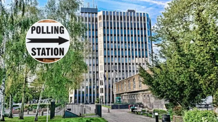
Why does Enfield appear in election coverage?
Local election guides usually focus on borough identity, boundaries and major communities so readers understand the area before the political contest.
In Enfield’s case, the mix of suburban districts, town centres and green-belt land means the council’s role touches on a wide range of services and planning questions.
That is one reason the borough is often framed through geography as much as party politics. When local election coverage introduces Enfield, it is usually setting out the backdrop for issues that are likely to matter to residents, including development, transport, parks, town centres and the condition of neighbourhood services.
Explore More Enfield News
Green-Tory Alliance Threatens Labour’s New Town Plan in Enfield 2026
Enfield New Town Plan Faces Green–Tory Challenge in 2026
How should this be written in news format?
A strong news version should begin with the most important facts first and keep the writing neutral, concise and factual.
News writing guidance recommends the inverted pyramid structure, where the lead contains the essential information and later paragraphs add context and detail.
It should also answer the main reporting questions clearly: who, what, where, when, why and how. For a local elections profile, that means opening with Enfield’s location and identity, then moving through its neighbourhoods, landmarks and political relevance in a logical order.
Background of this development
This Enfield profile appears to have been produced as part of a wider local elections guide covering London’s 32 boroughs.
The purpose of this kind of piece is to give readers quick factual context before election coverage begins, rather than to analyse a result or campaign issue.
In that format, the borough introduction works as a service piece for readers who may know parts of Enfield but not the whole area.
It is also a practical framework for later reporting on council contests, since local elections are shaped by the geography, demographics and neighbourhood identities of each borough.
Explore More Enfield News
Enfield Crime Falls 12.6% Despite Hate Rise (2026)
Enfield £1.26m Flood Projects: Council Secures Funding 2026
What is the prediction for local readers?
For Enfield residents, this kind of borough profile can make election coverage easier to follow because it sets out where different communities are located and what makes the borough distinct. That can help readers understand why candidates may focus on different local issues in different parts of Enfield, from suburban planning concerns to town-centre priorities.
For a broader audience, the profile can also shape how the borough is perceived in political reporting. By highlighting both its green spaces and urban centres, it suggests that future local debate is likely to continue balancing development, conservation and everyday service delivery across a diverse borough.