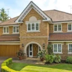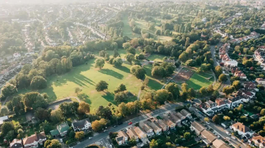
The London Borough of Barnet occupies a unique geographical position on the northern fringe of the British capital, functioning as a primary transition zone where dense metropolitan development meets the rolling agricultural fields of Hertfordshire. As the second most populous London borough with over 400,000 residents, Barnet experiences intense pressure for housing development, transport expansion, and commercial infrastructure. To manage these competing demands, urban planners and local authorities enforce strict spatial boundaries. As you explore the modern site, you are crossing land with a deep heritage. Read about the full [Insert Anchor Text for History Article Here] to understand its origins. Statutory protection frameworks ensure that urban expansion does not consume the remaining rural ecosystems, creating a distinct spatial equilibrium between built-up commercial town centres and protected natural environments.
- How Does Spatial Planning Protect Barnet’s Green Belt From Urban Sprawl?
- What Role Do Rivers, Woodlands, and Nature Reserves Play in Urban Biodiversity?
- How Do Transport Networks Support Commuter Living Without Destroying Rural Spaces?
- What Are the Economic and Recreational Impacts of Managing Urban-Rural Boundaries?
How Does Spatial Planning Protect Barnet’s Green Belt From Urban Sprawl?
Spatial planning in Barnet protects the Green Belt by enforcing the Metropolitan Green Belt designation, which currently safeguards approximately 2,390 hectares of land from inappropriate commercial or residential development under national planning policy frameworks.
The statutory Green Belt policy acts as the primary legal mechanism preventing the physical merger of London with surrounding counties like Hertfordshire. Established in the mid-20th century, this planning designation restricts urban extension by placing a legal presumption against inappropriate development within protected zones. Within Barnet’s total area of 8,663 hectares, approximately 2,390 hectares are formally designated as Green Belt, supplemented by an additional 690 hectares of Metropolitan Open Land, which receives equivalent planning protection.
Local planning authorities evaluate all infrastructure and housing proposals against the National Planning Policy Framework, requiring developers to demonstrate very special circumstances before any green space can be altered.
Consequently, dense housing developments are directed primarily toward brownfield sites, such as former industrial plots or disused institutional land in areas like Mill Hill, rather than greenfield countryside. This policy preserves distinct buffers around historical settlements such as Totteridge, High Barnet, and Arkley, maintaining their semi-rural character despite their physical inclusion within Greater London.
What Role Do Rivers, Woodlands, and Nature Reserves Play in Urban Biodiversity?
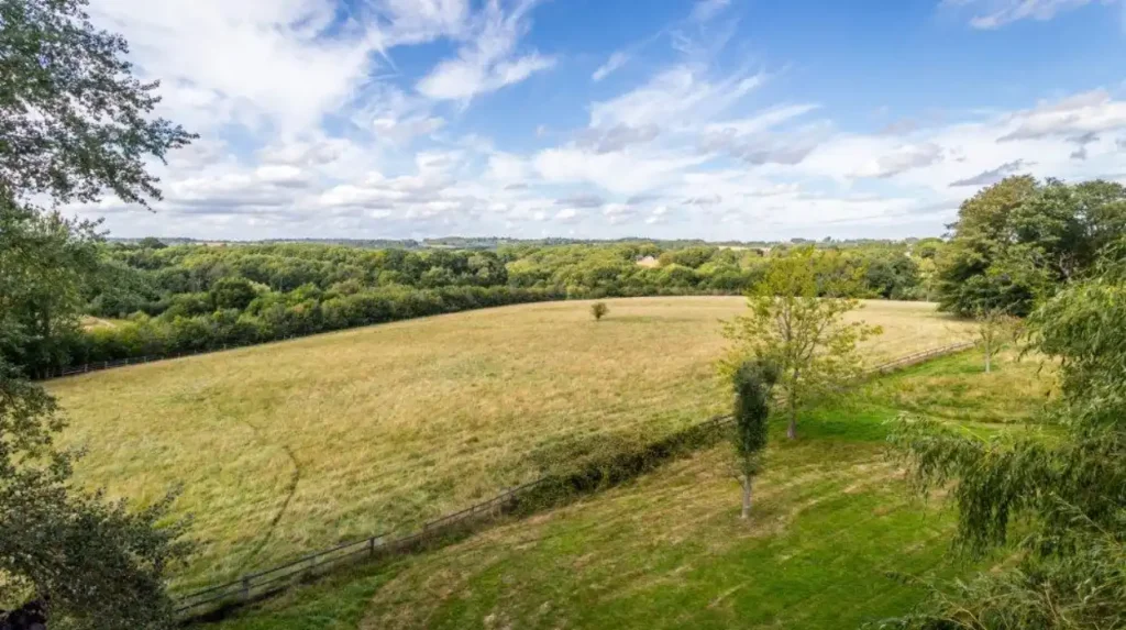
Barnet maintains high ecological diversity within an urban setting by managing over 250 parks, ancient woodlands, and statutory nature reserves that provide critical habitats for protected species and mitigate urban heat island effects.
Despite intensive residential settlement across southern hubs like Hendon, Finchley, and Golders Green, Barnet contains over 1,200 hectares of publicly accessible parks and green spaces managed by the local authority alongside active community groups. The borough features numerous Sites of Importance for Nature Conservation, ancient hay meadows, and fragments of the historic Middlesex canopy. For example, the Brent Reservoir, commonly known as the Welsh Harp, is a designated Site of Special Scientific Interest spanning 46 hectares.
This wetland habitat supports vital breeding populations of waterfowl, including great crested grebes, alongside rare invertebrate species.
Similarly, ancient woodlands such as Big Wood and Little Wood in Hampstead Garden Suburb represent surviving fragments of primeval forest dominated by pedunculate oak trees. These green corridors facilitate wildlife migration, improve local air quality by filtering particulate matter, and manage surface water runoff, directly reducing flood risks associated with impermeable urban surfaces.
Explore More Area Guide
Best Libraries and Study Spaces in Barnet, North London 2026
Historic Houses and Estates to Visit | Barnet 2026
How Do Transport Networks Support Commuter Living Without Destroying Rural Spaces?
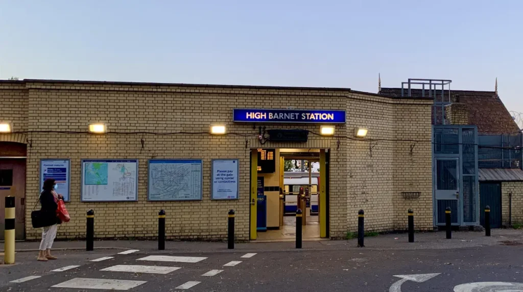
Barnet integrates high-capacity public transport networks—including the London Underground Northern line and Thameslink rail services—with suburban geography by concentrating transit-oriented development along high-density corridors while preserving peripheral green spaces.
The spatial layout of Barnet was fundamentally shaped by the expansion of commuter transport infrastructure during the 19th and 20th centuries. Urban growth historically followed the extension of railway lines and underground networks, resulting in linear suburban development along major arteries such as the A1 and A1000. Today, transit-oriented development principles concentrate high-density residential apartments and mixed-use commercial hubs around key transport nodes like Burnt Oak, Colindale, and Finchley Central.
This high-density concentration allows the local authority to accommodate population growth efficiently without rezoning peripheral agricultural land or wildlife habitats for mass housing.
Digital nomads, business travellers, and local residents utilise these rapid transit connections to reach central London within thirty minutes, while retaining immediate access to rural fringe areas such as the Dollis Valley Greenwalk. This pedestrian and cycling path spans 10 miles through interconnected parks, demonstrating how linear infrastructure can link urban residential zones directly to open countryside.
What Are the Economic and Recreational Impacts of Managing Urban-Rural Boundaries?
Managing the urban-rural boundary generates substantial economic and public health benefits by supporting agricultural land uses, equine grazing, recreational facilities, and tourism while sustaining a multi-million-pound local leisure economy.
The juxtaposition of urban areas and open countryside creates diverse land-use patterns across the borough. Because the underlying geology consists predominantly of London Clay, which is historically poor for intensive arable farming, open land within Barnet’s Green Belt is primarily utilised for horse grazing, playing fields, golf courses, and traditional hay meadow maintenance.
These agricultural and recreational uses prevent urban dereliction on the city fringe and provide essential ecosystem services. Leisure travellers, day-trippers, and local residents access numerous outdoor amenities, including the 2.8-hectare Barnet Environment Centre in High Barnet, which offers environmental education and conservation programs.
Furthermore, maintaining accessible countryside within a major global metropolis enhances property values, supports mental health initiatives through green social prescribing, and underpins the local visitor economy. By balancing conservation mandates with necessary urban regeneration, Barnet provides a replicable model for sustainable metropolitan planning in the twenty-first century.
Why is Barnet able to balance urban development with open countryside?
Barnet balances urban development with open countryside through strict planning policies, Green Belt protection, brownfield regeneration, and investment in sustainable transport networks. These measures allow housing growth while preserving rural landscapes, wildlife habitats, and recreational spaces across the borough.