Key Points
- Enfield Council-produced maps intended to highlight public green spaces, including parks and woodland, fail to mark Whitewebbs Park, showing an empty white space in its eastern area.
- The unmarked white space corresponds to the former golf course site and surrounding parkland, now leased by the council to Tottenham Hotspur for a women’s football academy.
- Tottenham Hotspur’s plans involve fencing off 16 hectares of land, effectively privatising it, though large tracts of the leased area will remain public parkland.
- The maps, part of the Enfield Chase Woodland Restoration Project, contain other errors, such as mislabelling Forty Hill as ‘Bull’s Cross’ and incorrectly placing the Whitewebbs Park cafe and car park.
- The Guardians of Whitewebbs campaign group, which secured a judicial review of the council’s planning permission for Spurs’ training centre, demands immediate correction of the maps.
- The council has acknowledged the mapping errors and stated it will “consider how best to amend them”.
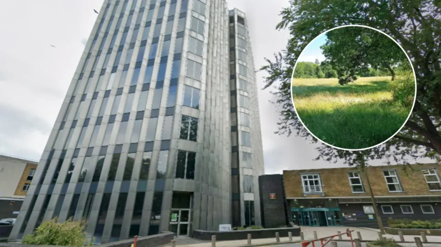
- Enfield Council provided no statement to the Dispatch due to ongoing legal action over the Whitewebbs Park development.
- Guardians of Whitewebbs insist Whitewebbs Park must be included as public green space on maps meant for locals and walkers.
- The omission raises questions about the council’s view of the park’s status as open space amid the controversial lease to Tottenham Hotspur.
Enfield (North London News) February 18, 2026 – Campaigners have demanded urgent corrections to new public maps produced by Enfield Council, which controversially omit Whitewebbs Park while purporting to highlight accessible green spaces across the borough. The maps leave a stark white space where the eastern section of Whitewebbs Park should appear, fuelling concerns over the site’s future as Tottenham Hotspur prepares to develop a women’s football academy there.
- Key Points
- Why Have Enfield Council Maps Omitted Whitewebbs Park?
- What Is the Guardians of Whitewebbs’ Stance?
- How Has Enfield Council Responded?
- What Are the Broader Implications for Whitewebbs Park?
- Why Does the Timing Matter Amid Legal Action?
- What Other Errors Plague the Maps?
- How Does This Fit Enfield’s Green Space Narrative?
Why Have Enfield Council Maps Omitted Whitewebbs Park?
The maps in question form part of Enfield Council’s Enfield Chase Woodland Restoration Project, designed to guide locals and walkers to publicly accessible parks, woodlands, and footpaths. As detailed in coverage by the Enfield Dispatch, the eastern area of Whitewebbs Park – corresponding precisely to the former golf course and its surrounding parkland – appears as an unmarked white void, with only ‘Whitewebbs Woodland’ indicated to the west.
This omission is particularly striking given that the council is currently leasing this land to Tottenham Hotspur.
The football club’s approved plans include fencing off 16 hectares for a women’s football academy, a move described by critics as effective privatisation of public space. Despite this, significant portions of the leased area are set to remain as public parkland, underscoring the anomaly of its exclusion from the maps.
As reported by journalists at the Enfield Dispatch, the maps suffer from additional inaccuracies. Forty Hill is mislabelled as ‘Bull’s Cross’, while the cafe and car park for Whitewebbs Park are plotted in the wrong locations. These errors compound the campaigners’ frustration with what they see as a dismissive attitude towards one of Enfield’s cherished green assets.
What Is the Guardians of Whitewebbs’ Stance?
The Guardians of Whitewebbs, a local campaign group, have been vocal in their criticism. Having recently won the right to a judicial review challenging Enfield Council’s decision to grant planning permission for Tottenham Hotspur’s women’s training centre, the group views the mapping error as symptomatic of deeper issues.
In a formal statement provided to the Enfield Dispatch, the Guardians of Whitewebbs declared:
“We expect Whitewebbs Park to be included on this map of Enfield Chase, and not to do so raises serious questions about its status as open space in the view of the council.”
They emphasised that
“the maps are obviously meant as a guide to locals and walkers. Locals and walkers aren’t interested in the intricacies of the council’s land management – they just want to see useful maps of Enfield’s amazing public green space.”
The group welcomed the council’s acknowledgment of the errors, adding:
“Therefore, we welcome the council’s reconsideration of this error, and look forward to seeing the amended maps, with Whitewebbs Park labelled and correctly included as a public green space.”
This position reflects their ongoing battle to preserve public access to the park amid the Spurs development.
How Has Enfield Council Responded?
Enfield Council has conceded the inaccuracies in its maps. According to the Guardians of Whitewebbs, as cited in the Enfield Dispatch, the authority has confirmed it will “consider how best to amend them”. However, the council declined to provide any statement to the Dispatch for this specific story, attributing the silence to the ongoing judicial review proceedings.
This lack of direct comment leaves residents and campaigners awaiting concrete action.
The council’s Enfield Chase Woodland Restoration Project aims to promote appreciation of the borough’s natural heritage, yet the omission of Whitewebbs Park – a site of historical and recreational significance – undermines that goal. Local observers note that the former golf course area remains fully publicly accessible at present, further highlighting the maps’ misleading representation.
What Are the Broader Implications for Whitewebbs Park?
Whitewebbs Park has become a flashpoint in Enfield’s planning debates.
The lease to Tottenham Hotspur follows councillors’ approval of the controversial women’s academy, a decision now under judicial scrutiny thanks to the Guardians of Whitewebbs. Critics argue that fencing off 16 hectares risks eroding public green space in a borough where such areas are vital for health, recreation, and biodiversity.
The mapping controversy amplifies these concerns. By rendering the eastern parkland as a blank space, the council’s visuals implicitly downplay its public status, even as parts will stay open post-development. This comes against a backdrop of other map errors, suggesting possible oversight or haste in production.
Residents value Whitewebbs for its tranquility and trails, integral to Enfield Chase’s ecosystem. The Guardians’ insistence on accurate mapping aligns with broader calls for transparency in how public assets are portrayed and managed, especially amid commercial partnerships like that with Spurs.
Why Does the Timing Matter Amid Legal Action?
The maps’ release coincides with heightened tension over the judicial review. The Guardians of Whitewebbs secured this legal avenue to contest the planning permission, arguing procedural flaws in the council’s approval process. Enfield Council’s reticence in responding to media queries underscores the sensitivity, as litigation looms.
As noted in related Enfield Dispatch reporting, the women’s academy plans have divided opinion. Supporters highlight sporting benefits and investment, while opponents fear loss of open space. The maps, by omitting the park, risk being seen as aligning with the development narrative, though the council insists on future amendments.
This episode illustrates challenges in balancing urban growth with green preservation. Enfield’s maps, meant to celebrate public spaces, instead spotlight discrepancies that campaigners hope will spur corrective and protective measures.
What Other Errors Plague the Maps?
Beyond Whitewebbs Park, the Enfield Chase maps exhibit clear flaws. The mislabelling of Forty Hill as ‘Bull’s Cross’ confuses longstanding local landmarks, while relocating the Whitewebbs cafe and car park misdirects visitors. These inaccuracies, as covered by the Enfield Dispatch, diminish the maps’ utility for their intended audience: everyday walkers and families exploring Enfield’s greens.
Such mistakes raise questions about the rigour of the council’s mapping process within the Woodland Restoration Project. Campaigners argue they reflect a broader undervaluation of public input and accuracy, particularly for sites like Whitewebbs under development pressure.
How Does This Fit Enfield’s Green Space Narrative?
Enfield Council promotes its green spaces as a borough strength, with initiatives like the Woodland Restoration Project fostering public engagement. Yet the Whitewebbs omission jars with this ethos, especially as the park remains accessible despite the Spurs lease.
The Guardians of Whitewebbs frame the issue simply: locals deserve reliable guides to “Enfield’s amazing public green space”. Their expectation of prompt inclusion on amended maps pressures the council to align visuals with reality, preserving trust amid ongoing disputes.
In North London’s urban sprawl, controversies like this highlight the stakes. Whitewebbs Park embodies community heritage, and accurate representation on official maps is a small but symbolic step in safeguarding it. As judicial proceedings advance, all eyes remain on Enfield Council’s next moves.