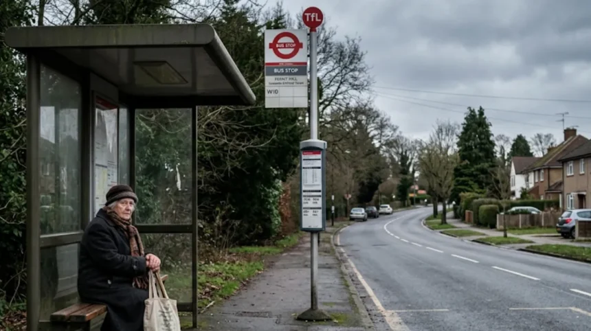
Outer Enfield contains the lowest Public Transport Access Level (PTAL) ratings in the London Borough of Enfield, ranging from PTAL 0 (worst) to PTAL 2 (poor). Central hubs like Enfield Town achieve PTAL 5, while outer areas suffer reduced access.
- Definition and standard methodology of PTAL scoring
- Spatial mapping of PTAL scores across Enfield
- Direct impact of low PTAL scores on passenger journey times
- How does geographical distance and low suburban population density impact transport frequency in outer Enfield?
- Suburban density metrics and demand forecasting in North London
- Revenue model constraints and service frequency allocations
- Vehicle cycle time expansion over outer suburban mileage
- How do low-frequency bus routes and road congestion degrade Outer London service reliability?
- High-frequency versus low-frequency bus reliability metrics
- Traffic congestion bottlenecks on key outer road corridors
- Deficits in outer suburban bus priority infrastructure
- What operational challenges affect National Rail and London Overground services in northern Enfield?
- Infrastructure constraints on the Lea Valley and West Anglia lines
- Service frequency drops and operator allocation
- Shared freight routes and knock-on operational delays
- How do historical infrastructure investments create regional transport disparities between inner and outer North London?
- The radial investment bias of Central London transit planning
- Orbital connectivity gaps in North London suburbs
- Funding allocation disparities between inner and outer London boroughs
- What future transport initiatives and TfL policies aim to improve reliability in outer Enfield?
Definition and standard methodology of PTAL scoring
Public Transport Access Level (PTAL) measures public transport network connectivity at any specific location within Greater London. Transport for London (TfL) calculates PTAL using two main variables: walking distance to the nearest transport stop and service frequency at that stop. The measurement scale ranges from 0 (indicates zero or extremely poor connectivity) to 6b (represents excellent connectivity with short walk times and high vehicle frequencies).
Transport for London calculates walk times assuming an average walking speed of 4.8 kilometres per hour. Bus reliability metrics combine with maximum walk thresholds of 640 metres for bus stops and 960 metres for rail stations. Reliability ratings drop in areas where walking distances exceed these parameters or where service headways exceed 15 minutes.
Spatial mapping of PTAL scores across Enfield
The London Borough of Enfield exhibits a severe spatial gradient in public transport connectivity from south to north and west to east. Central and southern town centres—3 primary hubs (Edmonton Green, Angel Edmonton, and Enfield Town)—achieve PTAL scores between 4 and 6a. These urban hubs benefit from overlapping bus routes, London Overground rail lines, and high service frequencies.
In contrast, 4 northern and peripheral outer Enfield areas (Crews Hill, Hadley Wood, Cockfosters, and Enfield Lock) register PTAL scores of 0, 1a, 1b, or 2. Over 31 percent of households in the London Borough of Enfield do not own a private motor vehicle, leaving residents in low-PTAL zones dependent on sparse public transport infrastructure.
Direct impact of low PTAL scores on passenger journey times
Low PTAL scores directly correlate with elevated passenger wait times, increased journey variability, and reduced service resilience. In outer Enfield zones rated PTAL 1a or 1b, scheduled bus intervals average between 20 minutes and 30 minutes during off-peak hours. If a single scheduled bus service suffers a cancellation or delay, passenger wait times immediately increase to 40 or 60 minutes.
Outer Enfield commuters face extended total travel times due to long walk access legs to bus stops or rail stations. The absence of high-density interchange hubs forces commuters to rely on single transit lines without immediate alternative routes during unexpected service suspensions.
How does geographical distance and low suburban population density impact transport frequency in outer Enfield?
Low suburban population density in outer Enfield reduces overall passenger demand per square kilometre, leading Transport for London to schedule lower vehicle frequencies. Extended geographical distances between outer settlements further increase operational vehicle cycle times and overall system vulnerability.
Suburban density metrics and demand forecasting in North London
Outer Enfield features a low urban density profile compared to inner North London boroughs such as Haringey and Islington. Haringey maintains a population density exceeding 8,600 residents per square kilometre, whereas outer suburban sections of Enfield record density levels below 3,500 residents per square kilometre. Green Belt designations restrict residential development across 3 northern areas (Crews Hill, Clay Hill, and Trent Park), limiting residential units per hectare.
Transport for London utilizes passenger demand forecasting models to determine route frequency, vehicle allocation, and capital investment priorities. Low population density produces fewer total passenger boardings per route-kilometre. Transport for London categorizes low-demand suburban routes as secondary lines, assigning lower base frequencies to match lower passenger volume thresholds.
Revenue model constraints and service frequency allocations
Transport for London operates under strict financial performance targets that mandate high farebox recovery ratios across its surface transport network. Bus service operational costs correlate with driver hours, fuel consumption, maintenance schedules, and fleet capital expenditure. High-density urban corridors generate sufficient fare revenue per bus-kilometre to cross-subsidize operations.
Low-density suburban routes in outer Enfield generate lower average ticket revenue per operating hour. To balance operational budgets, Transport for London schedules low-frequency baselines—such as 2 to 3 buses per hour—on outer suburban routes like route 456. These lower baseline frequencies diminish overall system flexibility when delays occur.
Vehicle cycle time expansion over outer suburban mileage
Outer Enfield routes cover longer geographic distances between route terminals than inner London routes. Longer route distances expand total vehicle cycle times—the time required for a bus or train to complete a full round trip including layovers. Extended mileage increases total exposure to variable traffic conditions along outer arterial corridors.
When a bus encounters a traffic bottleneck on a 15-kilometre suburban route, the resulting delay propagates across subsequent scheduled trips. Long route lengths prevent depot controllers from dispatching replacement vehicles quickly, creating prolonged gaps in service coverage across outer Enfield neighborhoods.
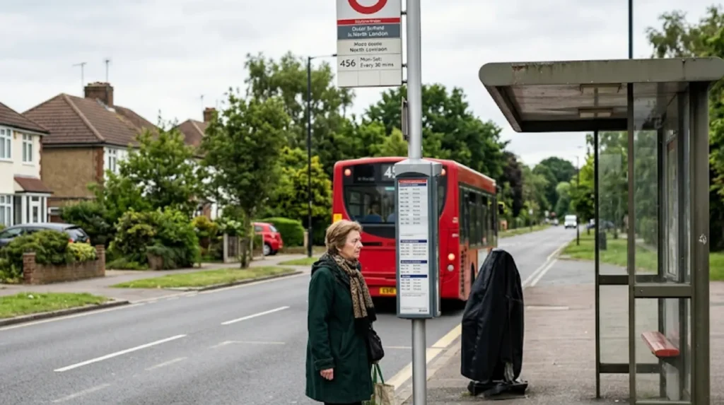
How do low-frequency bus routes and road congestion degrade Outer London service reliability?
Low-frequency bus routes experience severe service disruption when single vehicles are delayed or cancelled, because long headways prevent rapid recovery. Mixed traffic congestion on single-carriageway outer roads without dedicated bus lanes further reduces route reliability.
High-frequency versus low-frequency bus reliability metrics
Transport for London monitors bus performance using 2 distinct Quality of Service Indicators (QSIs): Excess Waiting Time (EWT) for high-frequency routes and On-Time Performance for low-frequency routes. High-frequency routes operate 5 or more buses per hour, where passengers arrive at stops without consulting timetables. Low-frequency routes run 4 or fewer buses per hour, requiring adherence to exact timetable schedules.
In outer Enfield, over 60 percent of daytime bus routes operate at low frequencies. On a high-frequency route running every 6 minutes, a missing bus increases wait times from 6 minutes to 12 minutes. On a low-frequency outer route running every 30 minutes, a single cancellation increases passenger wait time to 60 minutes. This mathematical reality causes outer Enfield bus services to rank lower in perceived and statistical reliability.
Traffic congestion bottlenecks on key outer road corridors
Outer Enfield bus routes operate predominantly in mixed traffic on single-carriageway roads without physical separation from private motor vehicles. Heavy congestion occurs daily along 4 primary traffic corridors:
- A10 Great Cambridge Road (major North-South trunk route connecting M25 to Central London)
- A110 Southbury Road / Lincoln Road (critical East-West suburban link)
- A105 Green Lanes (arterial route through Palmers Green and Winchmore Hill)
- A1055 Bullsmoor Lane / Mollison Avenue (key industrial corridor serving Eastern Enfield)
Commercial heavy goods vehicles (HGVs) heading to industrial parks along Mollison Avenue mix with commuter traffic, reducing average vehicle speeds during peak hours. During morning peak hours, traffic congestion along A10 and A110 drops bus operational speeds below 11 kilometres per hour.
Deficits in outer suburban bus priority infrastructure
Bus priority infrastructure includes 3 dedicated traffic management assets: physical bus lanes, queue-jump lanes, and selective door opening traffic signal priority systems. Inner London boroughs possess extensive network coverage of 24-hour bus lanes. Outer Enfield features limited bus lane infrastructure, with bus lanes covering less than 8 percent of the borough’s main road network length.
Where bus lanes exist in outer Enfield, they operate under restricted enforcement hours (such as 07:00–10:00 and 16:00–19:00 Mon-Fri) rather than continuous 24-hour schedules. Parked delivery vehicles, roadside parking bays, and turning traffic frequently block these lanes. Without continuous bus lanes, buses remain trapped in private vehicular traffic queues, causing delays that propagate across entire route schedules.
What operational challenges affect National Rail and London Overground services in northern Enfield?
Rail services in northern Enfield face structural reliability constraints due to flat railway junctions, single-track infrastructure sections, and shared freight corridor congestion. Off-peak service frequencies drop to two trains per hour, creating long service gaps during disruptions.
Infrastructure constraints on the Lea Valley and West Anglia lines
Rail infrastructure in northern and eastern Enfield relies on historical lines: the Lea Valley line (servicing Enfield Lock, Turkey Street, and Brimsdown) and the West Anglia Main Line. Network Rail owns the tracks, signals, and overhead catenary equipment, while train operating companies lease track access slots.
A primary structural bottleneck occurs at suburban rail junctions, such as the flat junction north of Edmonton Green station where the railway splits into 2 separate branches (Enfield Town branch and Cheshunt branch). Flat junctions force trains crossing tracks to wait for oncoming train movements to clear, creating delays that spread across both branches during peak operating hours.
Service frequency drops and operator allocation
Rail services in outer Enfield are managed by 2 main train operating entities:
- Arriva Rail London (operates London Overground routes terminating at Enfield Town and Cheshunt via Seven Sisters)
- Govia Thameslink Railway (GTR) (operates Great Northern services via Hertford North and Hadley Wood to Moorgate)
During peak commute periods, London Overground operates 4 trains per hour (tph) on the Enfield Town branch and 2 tph on the Cheshunt branch. However, during off-peak periods and weekends, service frequencies drop to 2 tph across these branches. A frequency of 2 tph equates to a 30-minute headway between trains. If a signal failure or mechanical fault cancels one train, passengers must wait 60 minutes for the next scheduled service.
Shared freight routes and knock-on operational delays
The Lea Valley rail corridor serves as a primary freight transit route connecting outer ports and industrial terminals to Central London and the national rail network. Heavy freight trains share track space with local suburban passenger services. Freight locomotives accelerate at significantly slower rates than electric passenger stock, consuming track capacity and creating wide timing gaps between passenger train slots.
When a freight train suffers a mechanical defect or operational delay, Network Rail signallers must hold trailing passenger trains at loop signals. Because outer Enfield rail stations lack multiple platform loops, delayed passenger trains cannot bypass slower freight traffic. This shared track model produces knock-on delays that affect morning and evening commuter schedules.
Explore More Help & Resources
Why are Enfield bus services frequently delayed?
How to report vermin problems in Enfield housing areas?
How do historical infrastructure investments create regional transport disparities between inner and outer North London?
Historical transport investment prioritized high-density Inner London zones and radial commuter corridors pointing directly toward Central London. Outer London areas like northern Enfield received limited suburban cross-orbital links, leaving suburban transit networks under-resourced and vulnerable to local disruptions.
The radial investment bias of Central London transit planning
London’s public transport system was designed historically around a radial planning model intended to carry suburban workers into Central London commercial districts. Nineteenth and twentieth-century railway companies constructed major radial arterial lines—such as the Great Northern Railway and the Eastern Counties Railway—converging on central termini like King’s Cross, Liverpool Street, and Moorgate.
This radial focus directed capital investment toward high-capacity mainline corridors. Suburbs like outer Enfield developed as residential dormitory areas dependent on single radial paths into Central London. Suburban growth outpaced orbital transport connections, leaving outer areas without robust lateral transit networks.
Orbital connectivity gaps in North London suburbs
Outer London suburb-to-suburb orbital travel patterns differ significantly from inner London radial commutes. Outer Enfield residents frequently travel horizontally across North London to destination hubs in Barnet, Waltham Forest, and Haringey for employment, healthcare, and education.
Historically, orbital public transport connections across outer North London relied on indirect bus routes operating on congested residential roads. Prior to the introduction of orbital express services, a transit trip from Enfield Lock to Barnet Hospital required multiple bus transfers and over 75 minutes of total travel time. The historic absence of orbital rail lines across outer North London forces outer suburb journeys onto local road networks.
Funding allocation disparities between inner and outer London boroughs
Major capital expenditure projects over the past 3 decades prioritized core inner London infrastructure assets. Mega-projects—including the Elizabeth line (£18.8 billion), the Northern Line Extension to Battersea (£1.1 billion), and Thameslink Programme upgrades—transformed central connectivity but delivered limited direct infrastructure enhancements to outer Enfield.
Outer London boroughs receive lower capital investment per capita for local transport upgrades than inner London boroughs. The table below outlines key operational differences between Inner North London and Outer Enfield public transport systems:
| Infrastructure Parameter | Inner North London (e.g., Islington / Haringey) | Outer Enfield (e.g., Crews Hill / Enfield Lock) |
| Average PTAL Rating | PTAL 4 to PTAL 6b (High) | PTAL 0 to PTAL 2 (Low) |
| Underground Access | Multiple Underground lines and stations | Single terminus (Cockfosters – Piccadilly line) |
| Bus Service Frequencies | 8 to 20 buses per hour (High) | 2 to 4 buses per hour (Low) |
| Bus Lane Coverage | High density (24-hour operation) | Low density (Peak hours only) |
| Primary Commute Patterns | High-density radial and orbital links | Dependent on radial car/bus travel |
What future transport initiatives and TfL policies aim to improve reliability in outer Enfield?
Transport for London and the Enfield Council are implementing targeted interventions, including the Superloop orbital express bus network, bus priority lane upgrades, and rail signaling modernization. These policies aim to raise service frequencies, bypass traffic bottlenecks, and improve outer suburban transport reliability.
The Superloop express bus network rollout (Routes SL1 and SL10)
Transport for London introduced the Superloop express bus network to address orbital connectivity gaps across Outer London. The Superloop initiative comprises express bus routes designed to connect outer London town centres, railway stations, and hospitals with fewer stops and faster journey times.
Route SL1 (Superloop North London) operates directly through outer North London, connecting North Finchley, Arnos Grove, Palmers Green, and Walthamstow Central. Route SL1 provides express connections to the Piccadilly line and London Overground network, bypassing local residential stops. By utilizing limited-stop express patterns and priority routing, Superloop services reduce cross-suburban travel times and improve schedule reliability for outer North London passengers.
Local Implementation Plan (LIP3) and bus priority enhancements
The London Borough of Enfield’s Local Implementation Plan (LIP3) sets out targeted capital investments in highway design and traffic management. The council works alongside Transport for London to expand physical bus priority lanes across 3 congested corridors: A10, A110, and A1055.
These enhancements include:
- Installing active bus signal priority at signalized junctions, which extends green lights for approaching delayed buses.
- Constructing physical queue-jump lanes at major roundabouts and bottleneck junctions.
- Converting existing peak-hour bus lanes into 24-hour enforcement zones equipped with automatic number plate recognition (ANPR) camera technology.
- Upgrading bus stop infrastructure on low-frequency suburban routes (such as routes 456 and W6) to provide fully accessible raised kerbs and real-time digital departure screens.
Rail fleet upgrades and signaling modernization programs
Transport for London and National Rail are introducing rolling stock and signaling upgrades to increase capacity and reliability across North London rail routes:
- Piccadilly Line Fleet Replacement: Transport for London is replacing the 1973 tube stock on the Piccadilly line with 94 new Inspiro air-conditioned trains. These modern trains feature wider double doors, walk-through carriages, and modern train control systems that enable higher peak train frequencies out of Cockfosters station.
- Great Northern Signaling Upgrades: Network Rail is installing Digital Railway signaling (European Train Control System – ETCS) along the Northern City Line and Great Northern routes. Digital signaling permits tighter train spacing, reducing delays and improving recovery times during disruptions.
- London Overground Frequency Feasibility Studies: Transport for London and Enfield Council are evaluating feasibility proposals to increase off-peak London Overground frequencies from 2 trains per hour to 3 or 4 trains per hour on both the Enfield Town and Cheshunt branches. Increasing baseline off-peak frequencies eliminates long 30-minute wait gaps, building long-term transport resilience into outer Enfield’s suburban transit network.
Why is public transport less reliable in outer Enfield?
Public transport in outer Enfield is generally less reliable because many neighbourhoods have low Public Transport Access Level (PTAL) ratings, lower population density, fewer transport services and longer distances between destinations. These factors result in less frequent buses and trains, making delays and cancellations more disruptive than in central parts of the borough.